
(Capture d'écran Google)
The Ministère des Transports du Québec confirms that it had commissioned the aircraft that was flying in late August.
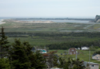
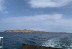
The airline was contracted to conduct bathymetric surveys using LiDAR (Light Detection and Radar) technology, i.e. mapping using laser scanning remote sensing in the Pointe-aux-Loups and Baie de Plaisance areas from August 26 to 30.
Spokesperson Jean-Philippe Langlais said the order came from the natural hazards and climate change adaptation module of the MTQ’s Bas-Saint-Laurent-Gaspésie-Îles-de-la-Madeleine branch.
The data from these surveys will allow the MTQ to monitor the evolution of the banks surrounding the department’s road infrastructures and guide it in planning its interventions.
Other surveys will be conducted in the fall, says Mr. Langlais.
Écoutez CFIM sur votre téléphone intelligent avec l'application ARCQ
![]()
![]()